Spatial Web Asset Management
The Most Innovative Web Asset Management
Spatial Web Asset Management
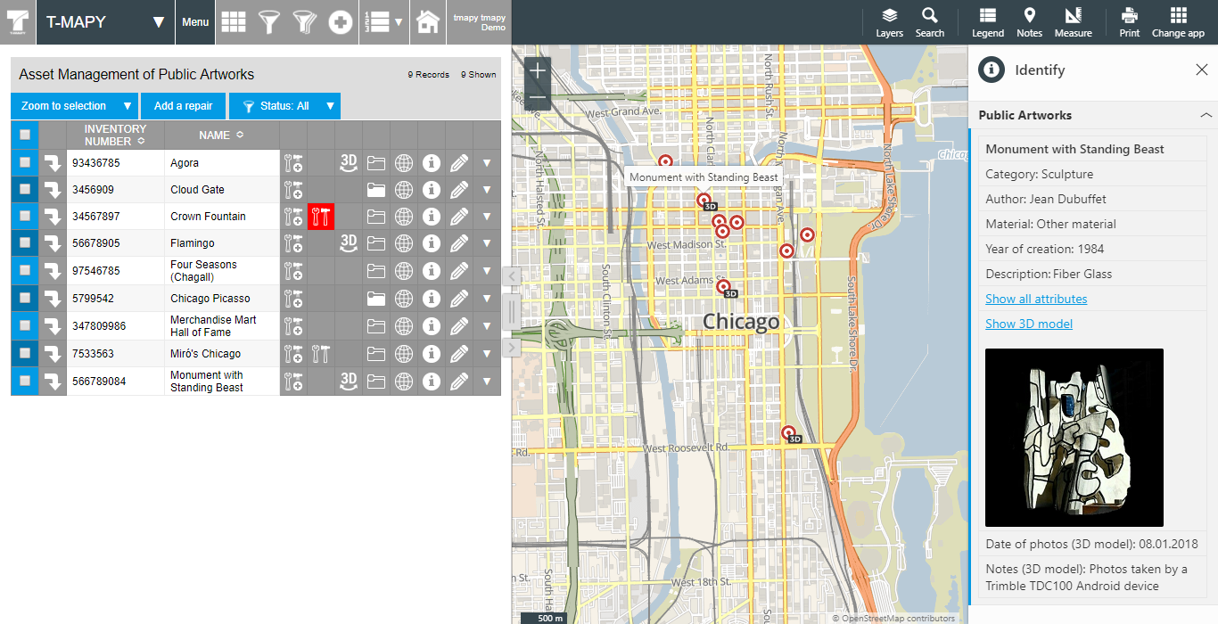
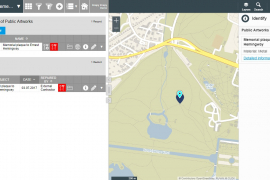
T-MAPY Spatial Web Asset Management System is the leading platform for internal and public purposes enabling data visualization, asset management, advanced spatial analysis, viewing 360° 3D models and much more in modern user interface. The solution is built on powerful OS Geospatial Foundation technologies that meet Open Geospatial Consortium standards.
Features
T-MAPY Spatial Web Asset Management System combines traditional GIS features with new innovative features which make the system powerful, easy to use and suitable for any asset.
Asset Management
T-MAPY Asset Management System has more smart features than you expect. Moreover it is with T-MAPY Web GIS in one window, so you have all spatial and non-spatial information available together.
Advanced Visualization
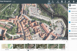
Visualize your data in beautiful, interactive, and informative maps - add WMS and WFS services and aerial maps. Unlimited number of data layers with possibility to set the transparency of layers.
2D and 3D
360° 3D models represent a unique source of detailed information. 360° 3D models are directly integrated in T-MAPY Spatial Web Asset Management using the 3D module.
Management of Users
Create users, assign them to user groups and give them the rights they need for their work (read only, write, etc.) for each asset management system and map application.
Detailed Information
General or custom data models are available, which enable to keep all the important information about assets in one place including additional information e.g. about repairs and inspections.
Widgets
We have a list of widgets (measurement, notes, search, print, 3D, etc.) available for all Spatial Web Asset Management applications. You can choose different widgets for different applications.
